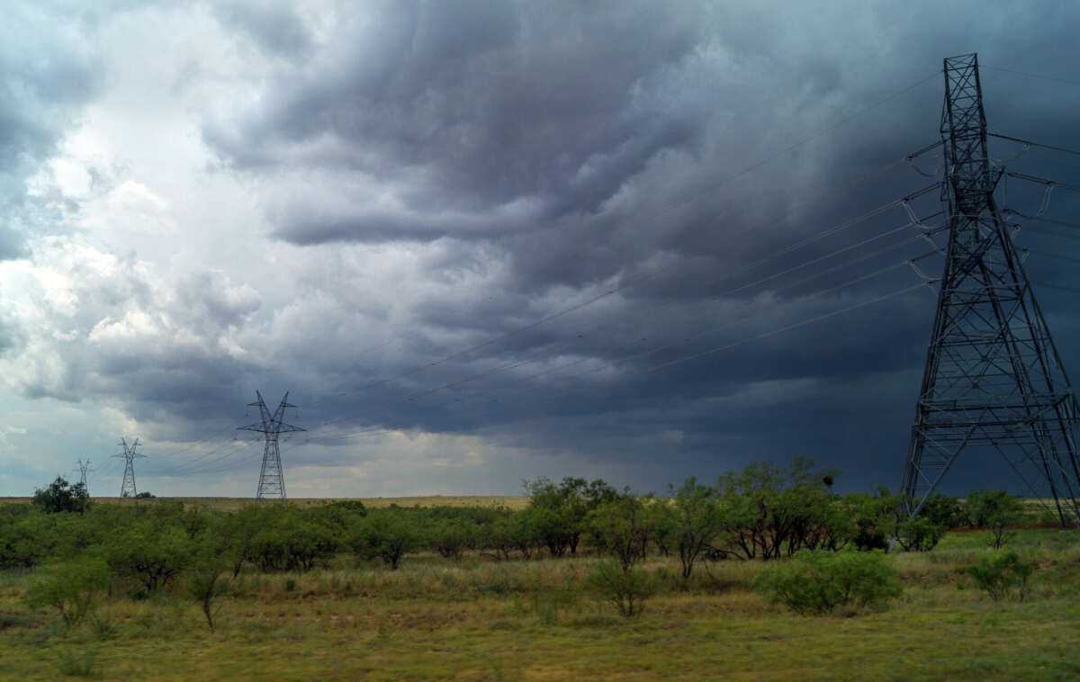

Weather report for Midland and Odessa for the start of the work-week for May 8.
HairFacePhoto/Getty Images/iStockphotoWarm temperatures across the Permian Basin will peak in the mid to upper 90s for most of Monday into Wednesday with the higher elevations seeing the upper 80s, according to the National Weather Service. Scattered thunderstorms are possible across the Big Bend, Lower Trans Pecos and far eastern Permian Basin this afternoon, some of which may be strong to severe.
While thunderstorms are possible from the eastern Permian Basin southwest to the Big Bend today, the greatest potential for severe thunderstorms are across the eastern Permian Basin, Lower Trans Pecos and portions of the Stockton Plateau, the report said.
The extended forecast through Wednesday this week will mirror the warm weather in the mid to upper 90s with chances of thunderstorms more prevalent in the afternoon and evening hours, according to AccuWeather.
Elevated fire conditions for still active as West Texans start the work week heading into this afternoon for all locations across the area and southeast New Mexico except for Terrell County, the National Weather Service reported. The report notes avoiding outdoor burning and proper disposal of cigarettes is important to keep in mind to avoid igniting a fire that can spread quickly with the localized weather conditions.
#Weather #forecast #West #Texas #start #work #week


